The National Interagency Fire Center has raised the National Preparedness Level to 3, indicating wildfire activity is steadily increasing across the Southwest, Southern California, and the Great Basin and requiring heavy commitment of national wildland firefighting resources. Year-to-date, t…
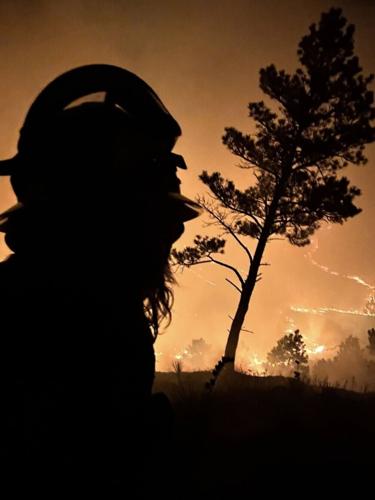
Chadron Fire Chief Branden Marten said his department had nine trucks and about 25 firefighters fighting the South Fork Fire on Wednesday, June 10. Marten said so far a small shed is the only structure that has been burned up.
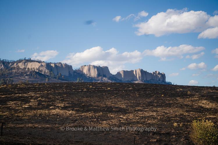
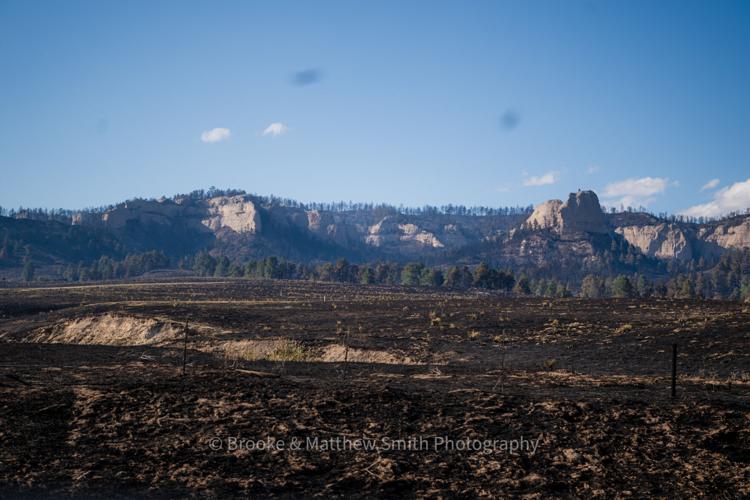
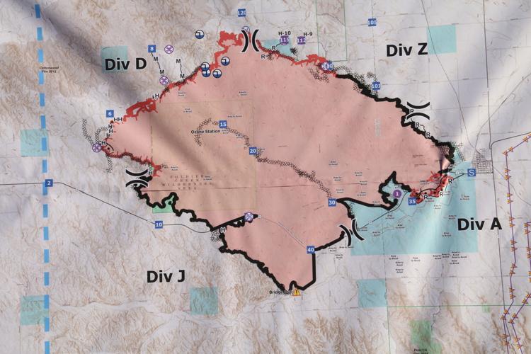
As of Monday morning, June 15, the South Fork Fire had burned 38,914 acres. It did not spread much over the weekend when the temperatures were cool and not much wind.
A map of the South Fork Fire. The first notch at the bottom going to your left is Fort Robinson. Crawford is just out to the right of the map by the grid. As of Monday morning, the fire had burned 38,914 acres. Much of the terrain in this map is the most rugged in Nebraska.


