


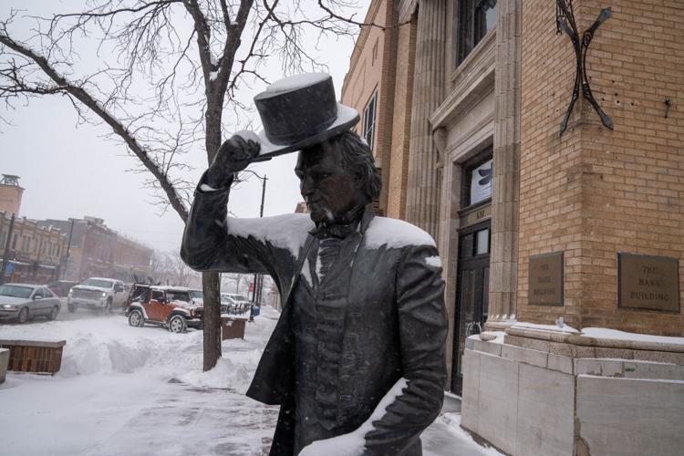
Winter weather pushed its way across western South Dakota Friday, closings schools and businesses and forcing interstate closures statewide.
Snow totals vary from the Northern Hills to the Central Plains, from five to seven inches in places like Lead and Sturgis and 10-plus out towards Wall. Local reports on the NWS Facebook page show upwards of 10 inches in Keystone, more than a foot off of Neck Yoke Road near Hart Ranch, and eight inches west of Hot Springs.
Official snow totals for the storm haven't been compiled yet.
At noon Friday, the National Weather Service office in Rapid City received 5.2 inches of snow. The NWS indicated that Rapid City has received 63 inches of snow so far this winter, which is 22 inches above average.
Hundreds of miles of Interstate closed Friday across the state, from Rapid City to Mitchell on I-90 and I-29 from Watertown to the North Dakota state line. Closures are expected to lift sometime early Saturday morning.
People are also reading…
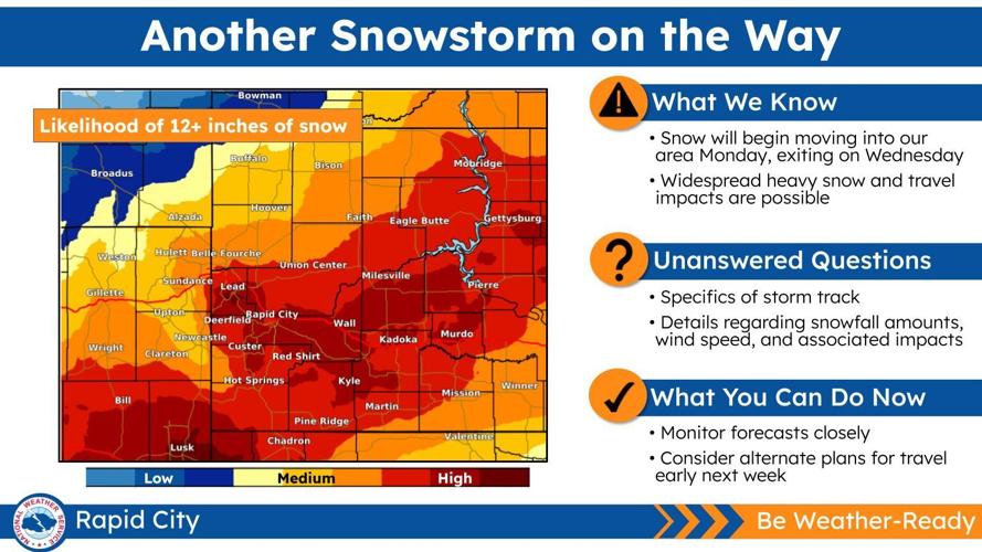
A mild weekend is in store for much of western South Dakota, with temperatures reaching highs in the 40s and 50s. A second chance for winter weather arrives Monday, with the National Weather Service calling snowfall impacts potentially "significant" as the storm moves through until Wednesday. Snowfall could be heavy at times and high winds could cause drifting and blowing snow.
More details on timing and impacts will be solidified over the weekend.

Make sure you have a way to receive updates on the forecast, watches and warnings. The National Weather Service in Rapid City provides regular updates on its website (weather.gov/unr), Facebook page (NWS Rapid City) and Twitter (@NWSRapidCity). The NOAA Weather Radio livestream is available online at weatherusa.net/radio. Road conditions are available by calling 5-1-1 or visiting sd511.org.


